Drone Survey
SURVEYBASE AIR IS ONE OF THE LEADING DRONE SURVEY CONSULTANTS OPERATING IN UK GEOMATICS.
WE OFFER A PROFESSIONAL SERVICE DESIGNED FOR SURVEY GRADE APPLICATIONS IN THE COMMERCIAL, EDUCATION, ENERGY, FARMING, HEALTHCARE, INDUSTRIAL & RETAIL SECTORS.
Welcome to Surveybase Air, get ready for take-off. Drone surveying is an open and fast-developing market so it’s reassuring you are in safe hands. Our certified pilots are CAA regulated and use the latest technology to capture high-definition aerial data and imagery. Our experience spans most industry challenges, our expertise delivers tangible service benefits.
WHAT IS A DRONE SURVEY?
A drone survey is the use of unmanned aerial vehicles (UAVs) to capture geomatic data at controlled heights. Drones are equipped with high-resolution cameras and sensors that deliver overflight videos, aerial images, 3D photogrammetry, 2D orthomosiacs, and precision point cloud files.
![]()
Drone
- LAND SURVEYS
- ROOF SURVEYS
- CONSTRUCTION MONITORING
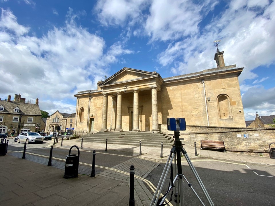
- HERITAGE SITE INSPECTION
- TURBINE INSPECTION
- CROP INSPECTION
WHAT ARE THE BENFITS OF DRONE SURVEYING?
Drone surveys offer 3 clear benefits over terrestrial survey methods;
FAST
Drone surveys cover large areas efficiently reducing the time and cost of traditional surveying.
SAFE
Drones can access hard to reach locations reducing the risk to surveyors.
FLEXIBLE
Drones can be used in remote locations, controlled and hazardous environments.
SERVICE OPTIONS
DRONE SURVEY FOR LAND MAPPING
Wanting more information on your property asset?
Our Drone Surveys are used extensively to map the boundary, area and topography of open green and brown field spaces. Drones record measured data more rapidly than traditional survey teams, in fact up to 1km² of digital imagery per day. By its nature, a Drone Survey is less intrusive than terrestrial surveying making them perfect for farming, green energy, hazardous, populated, and protected sites.
DRONE SURVEY FOR ROOF ASSESSMENT
Planning a roof top development or concerned with its condition?
Our Drone Surveys provide the accurate data you need for development proposals and maintenance. The Drone data is used to generate detailed roofscape plans and intelligent 3D models. The high-definition imaging and video files facilitate condition inspection and informed maintenance planning.
DRONE SURVEY FOR HERITAGE RECORDS
Responsible for a historic site or heritage building?
We are frequently commissioned to deliver digital survey records of historic sites and heritage buildings. The high-definition imaging and video is used to monitor building condition and guide conservation. The data can be combined with a terrestrial digital survey to construct an intelligent 3D model, detailed 2D plans or create a Digital Twin.
DRONE SURVEY FOR DIGITAL TWIN
Want to visit site from your desktop?
A Digital Twin is a precision virtual model of the surveyed scene constructed from Drone Survey data. They are growing in popularity, especially in historic and heritage site conservation. You access the Twin through a desktop PC, laptop, mobile phone, or VR headset. Once inside you can walk the entire scene, interrogate the site, and host virtual meetings. This service is further enhanced when combined with a 360TOUR to build a model of the entire site including facades and interiors.
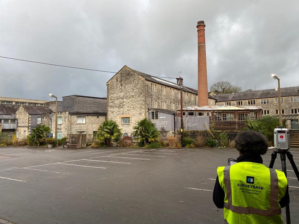
DRONE SURVEY FOR CONSTRUCTION MONITORING
Seeking to monitor your build from anywhere in the world?
Through Surveybase Air you can monitor your construction site from any location. We are frequently commissioned by investors, consultants, and private clients to deliver imaging and video at key stages of the build. Clients and their consultants can assess the construction progress and check build integrity and compliance against the agreed design scheme. High-definition Drone Survey data facilitates informed decisions that tangibly benefit build quality, build time, and control of build costs.
DRONE SURVEY FOR FARMING
Needing to assess crop production and crop health?
Our Drone Surveys track crop emergence, damage, and disease early, often before it becomes visible at ground level. This important data helps clients reliably predict yield and make informed treatment and replanting decisions. We help Farmers maximise the return on their investment whilst monitoring the condition of their wider property assets.
DRONE SURVEY FOR ENVIRONMENTAL ASSESSMENT
Responsible for managing the natural environment?
A Drone Survey tracks changes to the natural environment. High-definition aerial imaging provides a reliable platform for environmental assessment and ecological research. We support many industry applications including environmental organisations, developers, and farmers. Our Drone Surveys deliver evidence of environmental change by natural and manmade means. This information is proving beneficial in the management of grant and planning applications.
DRONE SURVEYS FOR STOCKPILE MEASUREMENT
Seeking tighter control over your production assets?
Be it construction, mining or aggregates, stockpile management is critical to any business. Historically, stockpile measurement has been a manual, time consuming and costly process. Depending on the site it might be a hazardous operation. Our Drone Surveys automate the procedure, making it safer, easier, and faster to yield accurate data. Using precision software applications, we build massing models of surveyed stockpiles and generate volumetric calculations.
DRONE SURVEYS FOR SOLAR FARMS
Responsible for Solar Farm installation and maintenance?
Our Drone Surveys are commissioned to support the planning and installation of new Solar Farms and the maintenance of existing sites. Through efficient Land Mapping our Drones deliver the data needed to build accurate topographical site plans on which informed design decisions are made. We are also deployed to monitor the condition of existing Solar Farms, efficiently surveying each PV panel, and guiding planned maintenance operations.
DRONE SURVEYS FOR WIND FARMS
Responsible for Wind Farm installation and maintenance?
Our Drone Surveys are commissioned to support the planning and installation of new Wind Farms and the maintenance of existing turbines. Through efficient Land Mapping our Drones deliver the data needed to build accurate topographical site plans on which informed design decisions are made. We are also deployed to monitor the condition of existing Wind Farms, efficiently surveying each turbine, and guiding planned maintenance operations.
DRONE SURVEYS FOR MARKETING
Seeking aerial video to support your marketing initiatives?
Surveybase Air is your route to high-definition aerial imaging and video, the perfect solution for your marketing initiatives. Applications are as broad as your imagination; share your vision and we will do the rest. Marketing appointments begin with online consultation and are followed by a written specification setting out the agreed deliverables. Since foundation we have helped a wide spectrum of UK organisations, from golf courses, hotels, venues, stadiums, local authorities, TV & film producers, healthcare providers, airports, education providers, festivals to mention a few.
SERVICE Deliverables
We will develop a Drone Survey specification that meets your precise requirements. Typical service options include.
OVERFLIGHT VIDEO
High-definition video footage over the survey scene.
AERIAL IMAGES
High-definition aerial images of the survey scene.
3D PHOTOGRAMMETRY
Overlapping aerial images to create a continuous 3D image model of the survey scene.
2D ORTHOMOSAIC
Overlapping aerial images to create a continuous 2D image map of the survey scene.
POINT CLOUD
Further processing of the drone photogrammetry to create millions of geo referenced 3D points that represent a single spatial measurement.


Related Case Studies

How Can We Help
Surveybase has over 25 years’ experience in delivering precision digital survey solutions to the AEC industry. Let's discuss your requirements and to see how our expertise will benefit your next project.

Talk To Our Expert
Request a Quote
To obtain a quotation please email your survey brief to quote@surveybase.co.uk or use our online quote portal.