3D Revit (MEP) Survey
WE OFFER A PROFESSIONAL SERVICE DESIGNED FOR MEP CONSULTANTS & ENGINEERS WORKING IN THE COMMERCIAL, EDUCATION, ENERGY, FARMING, HEALTHCARE, HOSPITALITY, INDUSTRIAL, RETAIL & UTILITY SECTORS.
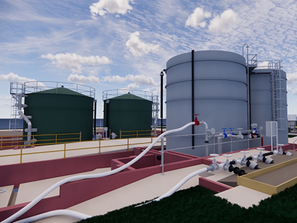
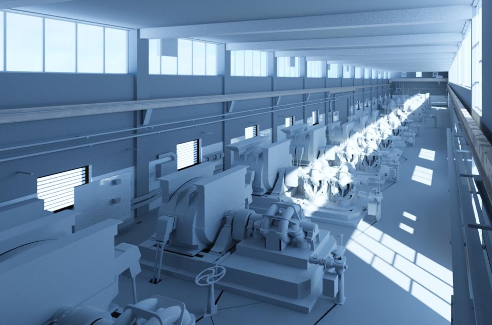
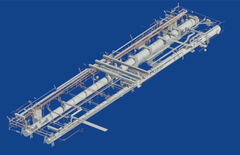
Surveybase launched a 3D MEP survey solution in 2012 and shortly after delivered a 3D Model of the entire Berry Hill Water Treatment Centre in Bournemouth on behalf of Wessex Water. This complex project included all treatment structures, tanks, gantry’s, and processing buildings including internal engineering, MEP, and pipework. We used this experience to develop proven procedures for the site survey and modelling procedures. Today we are a recognised 3D survey consultant working in the Water Treatment industry and with Architects, Property & MEP Consultants needing precision data on the infrastructure of building services.
![]()
MEP
- POINT CLOUD
- LEICA TRUVIEW
- 3D REVIT MODEL
- 3D AUTOCAD MODEL
- MATTERPORT SURVEY
- DRONE SURVEY
MEP SERVICES
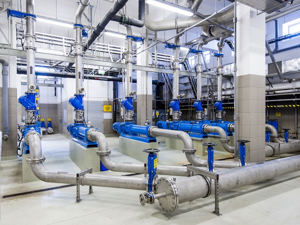
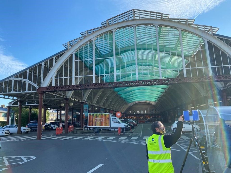
We track the infrastructure of building services that flow through existing buildings. We use efficient 3D Laser Scanning systems to record exposed plumbing, power, lighting, HVAC, and data systems. We generate precision 3D MEP models using the resulting point cloud files. Recognition of MEP systems can present challenges. To overcome these, we use our Matterport camera which delivers a high-definition 3D virtual tour of the building used by Clients for identification. Our experience includes healthcare environments where our survey practices meet hospital hygiene standards, minimises disruption, and protect patient privacy.
WATER TREATMENT CENTRES
We have extensive experience surveying Water Treatment Centres and Oil and Gas processing plants. We typically deliver pipework models using AutoCAD and Revit software. Clients include engineering consultants and regional utility service suppliers. Our appointments are typically tailored to specific processing functions, although we also have expertise in surveying entire water treatment centres. Our extensive library of commonly used engineering components significantly benefits the modelling process.
NAVISWORKS
We use Autodesk Navisworks software to inspect 3D BIM and 3D MEP models, assuring integrity and tolerance. Once inside Navisworks, we can combine 3D models and point clouds, navigate around them in real-time, and review modelling integrity. Our expert 3D Auditors add comments, redline, set viewpoints, and flag measurements and components to communicate required changes.
BIM & LOD
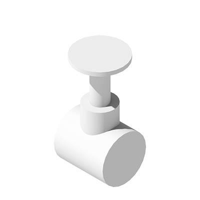
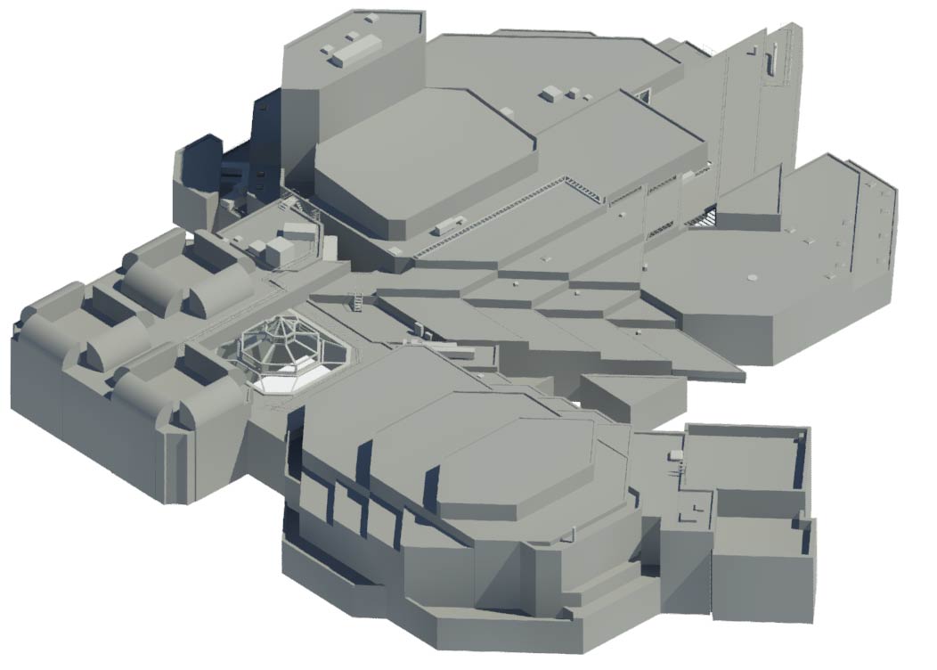
Surveybase 3D Technicians work to industry BIM specifications, building functional models with intelligent 3D components. We have a library of construction, architectural, fit out, MEP and engineering components that enhance modelling efficiency and integrity. We model to 4 Levels Of Definition (LOD) typically applying greater detail to pre-specified project zones. For more information, please visit the 3D BIM service page.
LOD 1 MASS
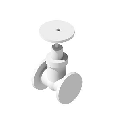
LOD2 SHELL
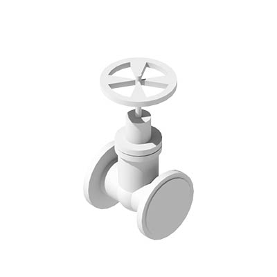
LOD3 STANDARD
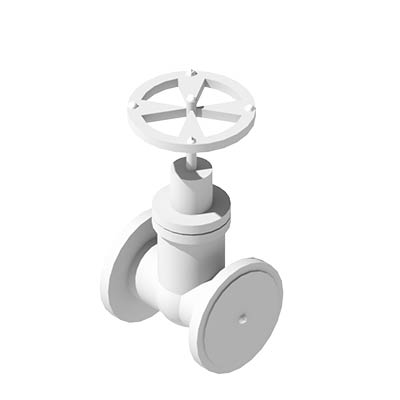
LOD4 DETAILED
SERVICE Deliverables
3D CONSULTATION
A pre-survey online meeting to review the modelling specifications, set expectation for deliverables, and programme.
POINT CLOUD
Delivery of the Laser Scan Point Cloud file in .RCP or .e57 format. We can upload the Point Cloud to Revit or AutoCAD on request.
LEICA TRUVIEW
We deliver a 3D scene of external spaces, such as Water Treatment Centres, using Leica Truview technology. TruView combines the Point Cloud and 3D photogrammetry to create a virtual walkthrough of the surveyed scene.
3D MEP MODEL
Surveybase uses Autodesk Revit to generate 3D Building & MEP Models. We can upload the model to AutoCAD or similar CAD software on request.
360TOUR
We use Matterport cameras to complement the 3D Laser Scan survey and deliver a high-definition 3D scene of internal spaces. The 360TOUR helps with the identification of MEP systems. This immersive experience can be combined with simplistic 2D schematic plans that provide greater understanding of the surveyed scene and MEP infrastructure.
DRONE SURVEY (ROOF MEP)
Surveybase undertakes precision surveys of roof plants and MEP systems. We typically deploy our Drone Survey technology to deliver high-definition Point Clouds ready for processing into 3D MEP models or 2D MEP plans. 3D MEP models are constructed to client BIM and LOD specifications and pass through our Navisworks audit procedures before delivery.
How Can We Help
Surveybase has over 25 years’ experience in delivering precision digital survey solutions to the AEC industry. Let's discuss your requirements and to see how our expertise will benefit your next project.

Talk To Our Expert
Request a Quote
To obtain a quotation please email your survey brief to quote@surveybase.co.uk or use our online quote portal.

