DETAILS
TITLE – Beckford’s Tower, Bath
SERVICE – 2D Topographical, UAV & Heritage Measured Building Survey
METHOD – Total Station, 3D Laser Scan, GPS, UAV Drone
SPECIFICATION – Level 3 – Heritage Detailing
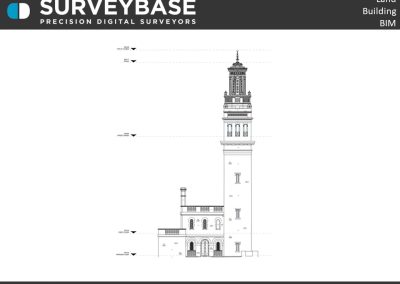
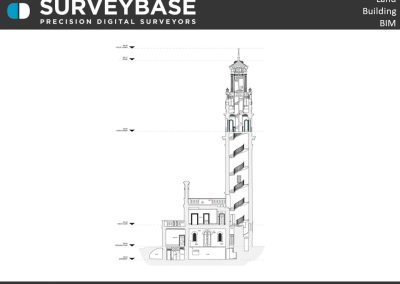
DELIVERABLES – 2D Topographical Site Plan, Floor Plans, Roof Plan, Elevations, Sections
SUMMARY
The digital Topographical, Drone, and Heritage Measured Building Survey of the Grade I listed Beckford’s Tower, Bath.
Design by Henry Goodridge the neo- classical style folly was built in 1827. Once home to one of the greatest collections of books, furniture and art in Georgian England and now stands as the only surviving example of William Beckford’s great architectural achievements.
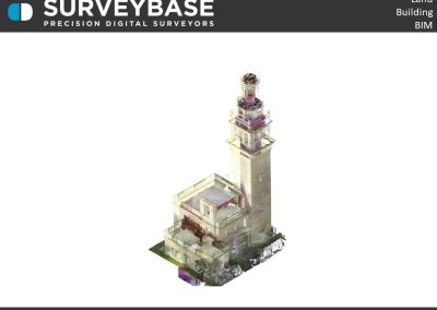
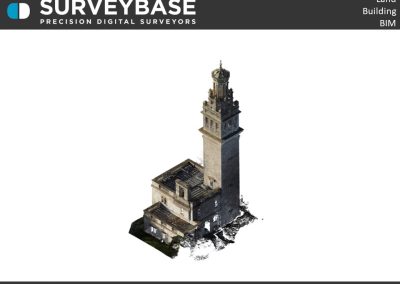
The survey was undertaken with a Leica RTC360 Laser Scanner, Trimble Total Station, GPS instruments and our latest UAV Drone equipped with 4D photogrammetry camera. We generated precision 2D Heritage Floor Plans, Roof Plan, Elevations, Sections and a Topographical Site Plan. The Tower recently acquired National Lottery Heritage funding and the survey plans will form the base of the on-going renovation and conservation designs.
If you would like to find out more about our Topographical, Measured Building, or Scan To 3D Revit survey services please visit the Surveybase website or call your local office; Bristol 01225 314370, Reading 0118 2072508 or London 02039 066892 .
To obtain a quotation please email your brief to quote@surveybase.co.uk or use our online quotation portal; Fast Quote.
Surveybase Limited are a precision digital surveying practice working on residential and commercial developments across the South of The U.K.


