Topographical SURVEY
Topographical Survey
Surveybase Topographical Surveys are the trusted foundation for Residential and Commercial developments across the UK.
We work with Homeowners, Architects and Developers on a wide range of extension and new build schemes.
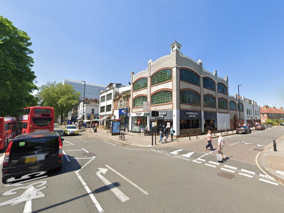
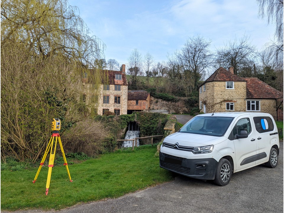
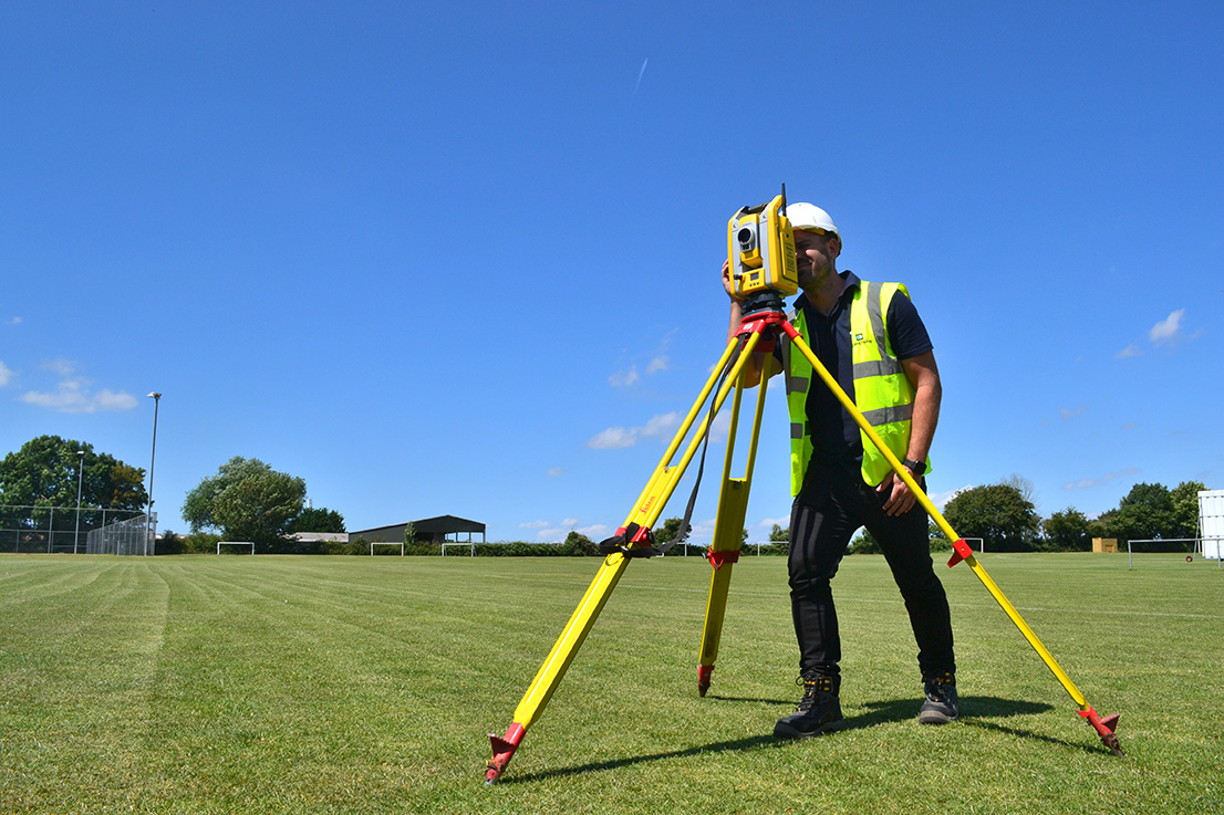
A Topographical Survey is an accurate record of natural and man-made features within a designated development zone. This survey provides a precision record of site levels, buildings, boundaries, services, natural and manmade landscaping.
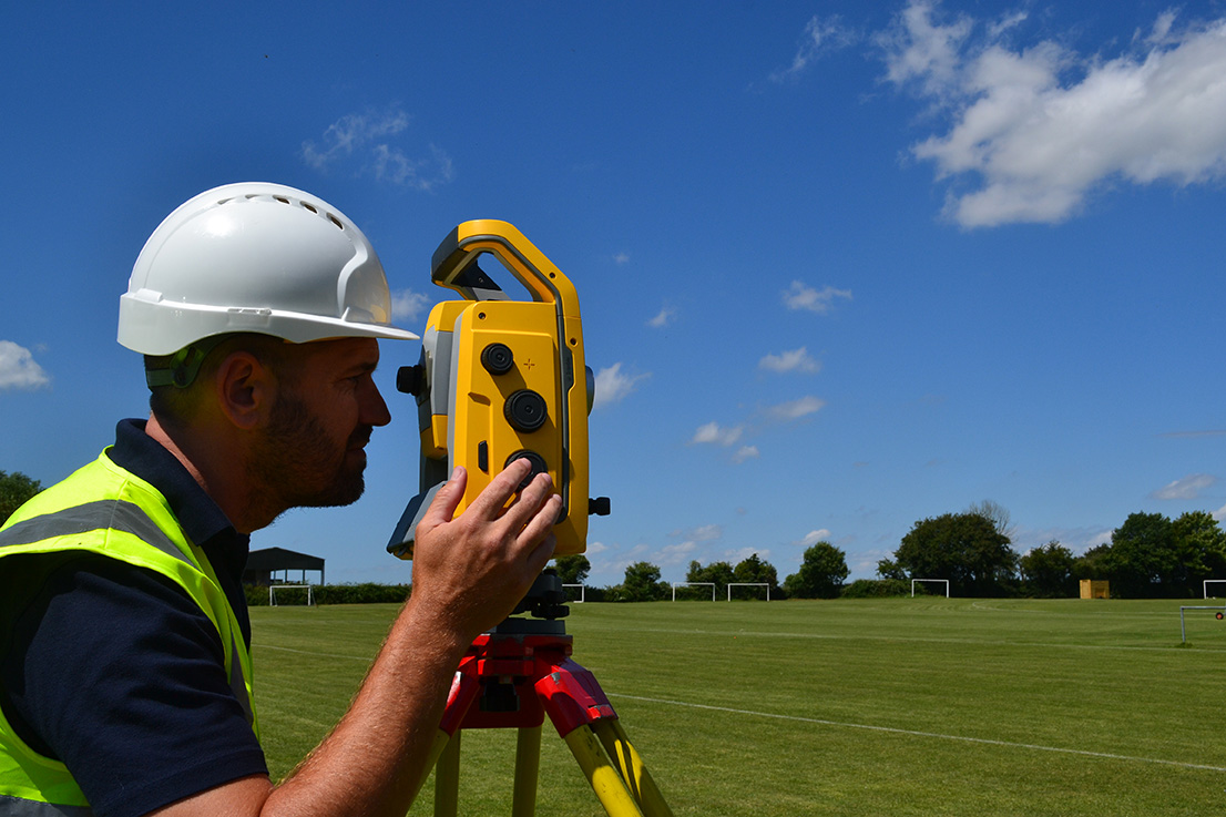
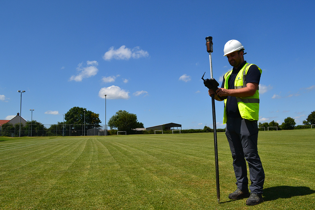
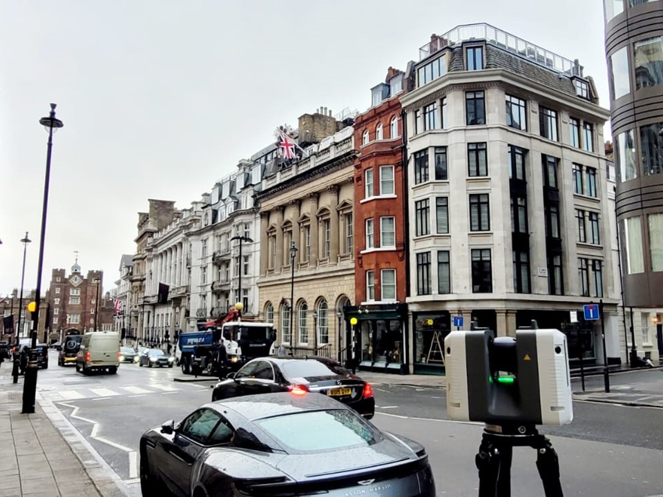
We use the latest digital Total Stations, GPS Systems, 3D Laser Scanners, and UAV Drones to deliver your survey brief. The data is referenced to an OS Datum and provided as a 2D Site Plan, 3D “XYZ” Points, 3D CAD Strings, Contours, or a 3D Model.
Why not combine with our Measured Building Survey for the ultimate digital survey solution.
2 Tier Topographical Survey Solution
We offer a 2-tier approach to Topographical Surveys and will tailor the service to meet your precise objectives and budget. This flexible solution is the result of our experience and commonly requested requirements. It is the sensible platform for competitive pricing ensuring you only pay for what your development needs.
LEVEL 1 OUTLINE TOPOGRAPHICAL SURVEY
LEVEL 2 FULL TOPOGRAPHICAL SURVEY
Topographical Survey Options
We offer a comprehensive Topographical Survey service to deliver everything you need for design, planning, and construction.
Site Plan
Site Section
Outline Elevation
Contours
3D “XYZ” Points
3D CAD Strings
3D Survey Model
Enhanced Service Options
As a professional practice we offer additional Topographical Survey services to meet unique design challenges and demands of statutory authorities.
Boundary Mapping
Area Measurement Calculation
Lease & Conveyance Plans
Land Registry Compliant Plans
Bespoke Specification
We tailor our Topographical Survey service to meet the needs of your project. Each survey benefits from a bespoke survey specification sheet. The specification is developed by the dedicated Survey Manager and used to guide the site survey, plan processing and quality assurance.
Frequently Asked Questions
Why Do I Need A Topographical Survey?
What type of sites do you survey?
What Is The Price Of A Topographical Survey?
Each Topographical Survey is different in shape and size and with unique survey objectives. We offer a free, no obligation quotation service typically providing a competitive fixed price quote within 48 hours. Please send your survey brief to hello@surveybase.co.uk or use our Online Quote Portal
Related Case Studies
How Can We Help
Surveybase has over 25 years’ experience in delivering precision digital survey solutions to the AEC industry. Let's discuss your requirements and to see how our expertise will benefit your next project.

Talk To Our Expert
Request a Quote
To obtain a quotation please email your survey brief to quote@surveybase.co.uk or use our online quote portal.

