DETAILS
TITLE – Chiswick Road, London
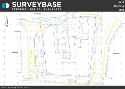
SERVICE – Topographical & Measured Building Survey
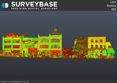
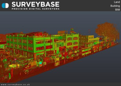
METHOD –3D Laser Scan, Total Station
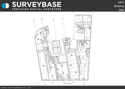
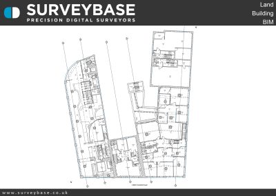
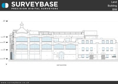
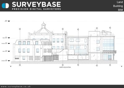
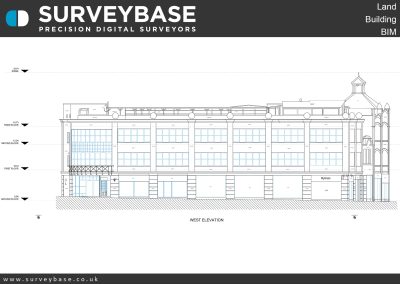
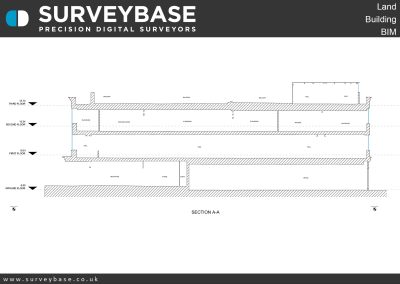
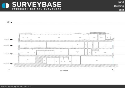
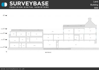
DELIVERABLES – Topographical Plan, Floor Plans, Elevations, Sections, Roof Plan, Internal Elevations
SUMMARY
The 2D Topographical and Measured Building Survey of Chiswick Road, London.
Located in West London, Chiswick High Road was the main road out of London until the A4 was built in the 1950s.
The road developed into a shopping centre when Chiswick became built up with new streets and housing late in the 19th century, and now is thriving with retail and hospitality businesses.
Though, much of Chiswick High Road has not changed all that much in the last 100 years or so, and has several listed buildings including public houses, churches, and a former power station.
The survey was undertaken with a Leica RTC360 Laser Scanner, Trimble Total Station & GPS. The output included precision 2D AutoCAD Topographical Plan With X,Y,Z 3D Points, Floor Plans, Elevations & Sections.
If you would like to find out more about our Topographical, Measured Building, or Scan To 3D Revit survey services please visit the Surveybase website or call your local office;
Bristol 01225 314370, Reading 0118 2072508, London 02039 066892 or Cambridge 01223 632613.
To obtain a quotation please email your brief to Quote@surveybase.co.uk or use our online quotation portal; Fast Quote.
Surveybase Limited are a precision digital surveying practice working on residential and commercial developments across the South of The U.K.

