Since 1997, Surveybase has been a trusted leader in Measured Building Surveys. Providing nationwide coverage, we deliver precise and dependable 2D and 3D outputs, ensuring complete confidence in your project from day one.
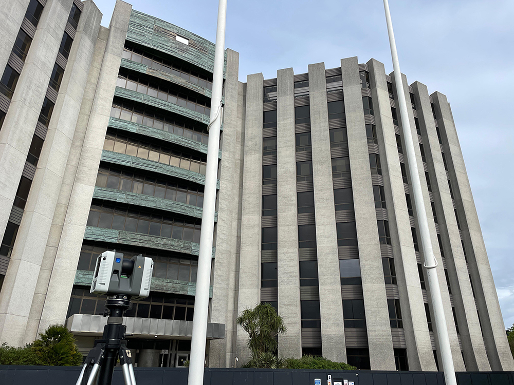
Measured Building Surveys are essential for a wide range of projects in architecture, engineering, and construction. They are particularly beneficial for:
A Measured Building Survey gives you the confidence to proceed with your project, knowing that every detail is captured with precision.
A Measured Building Survey is a detailed and accurate representation of a building’s physical features, structure, and layout. It captures everything from walls, doors, and windows to structural elements, fixtures, and architectural details. Using advanced technologies like 3D laser scanning, Surveybase produces precise 2D drawings and 3D models that support design, planning, refurbishment, and asset management. By delivering a data-rich, precise Measured Building Survey, professionals in architecture, engineering, and construction can visualise and analyse building elements with greater accuracy, enhancing decision-making and improving project outcomes.
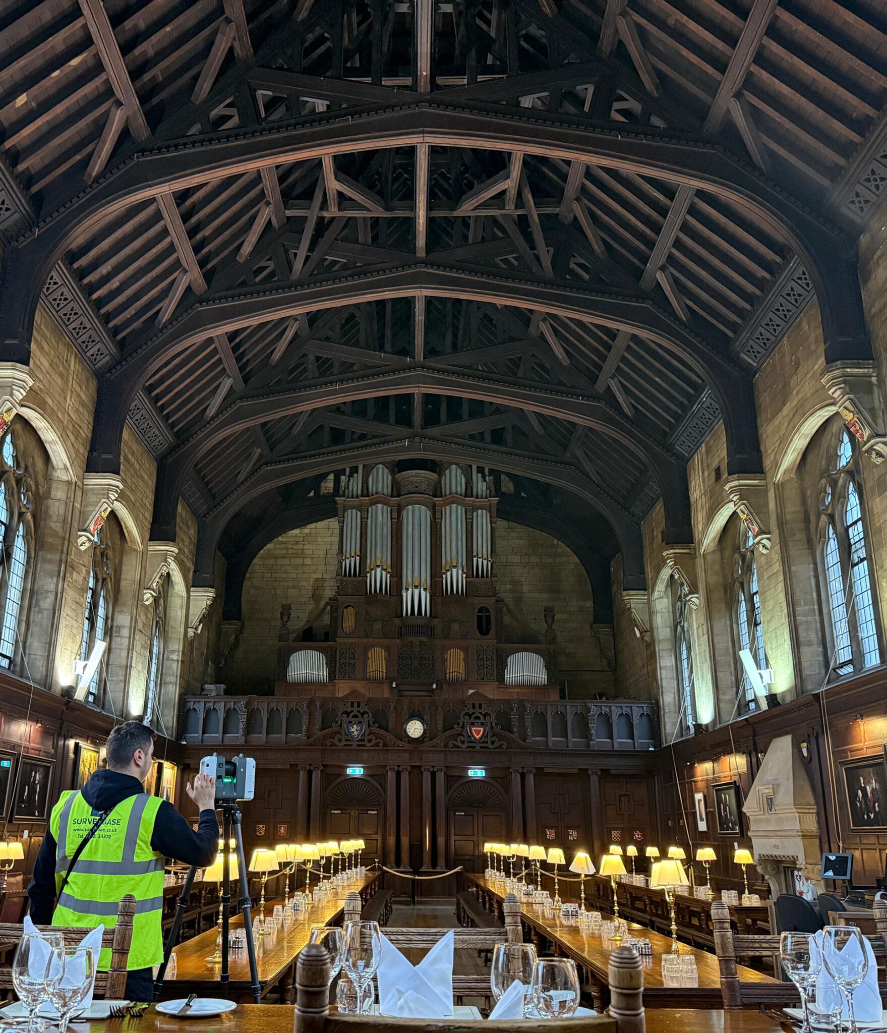
We offer a flexible, three-tier approach to Measured Building Surveys, tailored to meet your specific objectives and budget. This solution is built on our extensive experience and a deep understanding of commonly requested survey requirements. It provides a cost-effective approach, ensuring you pay only for the services that are essential to the unique needs of your development.
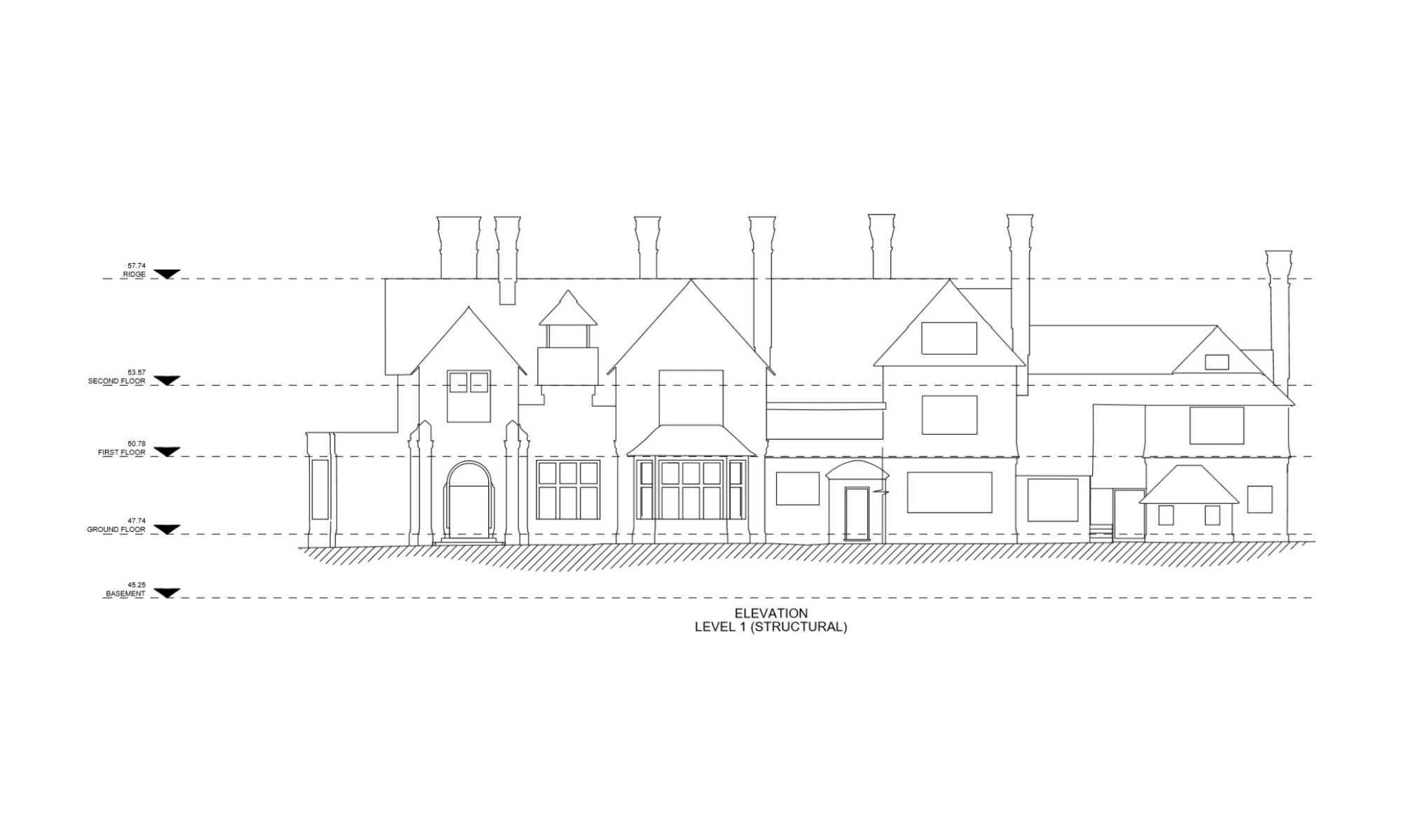

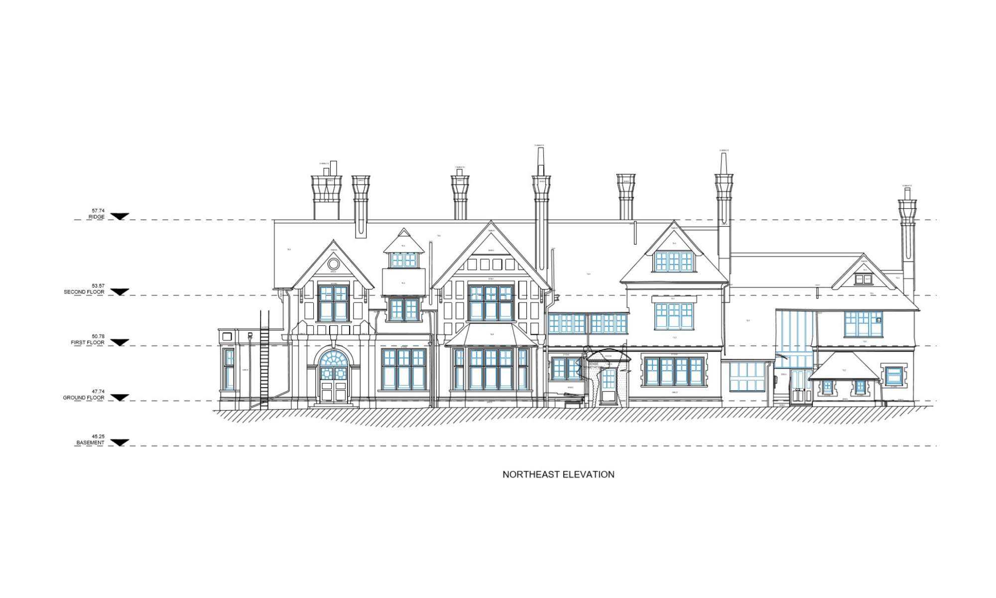

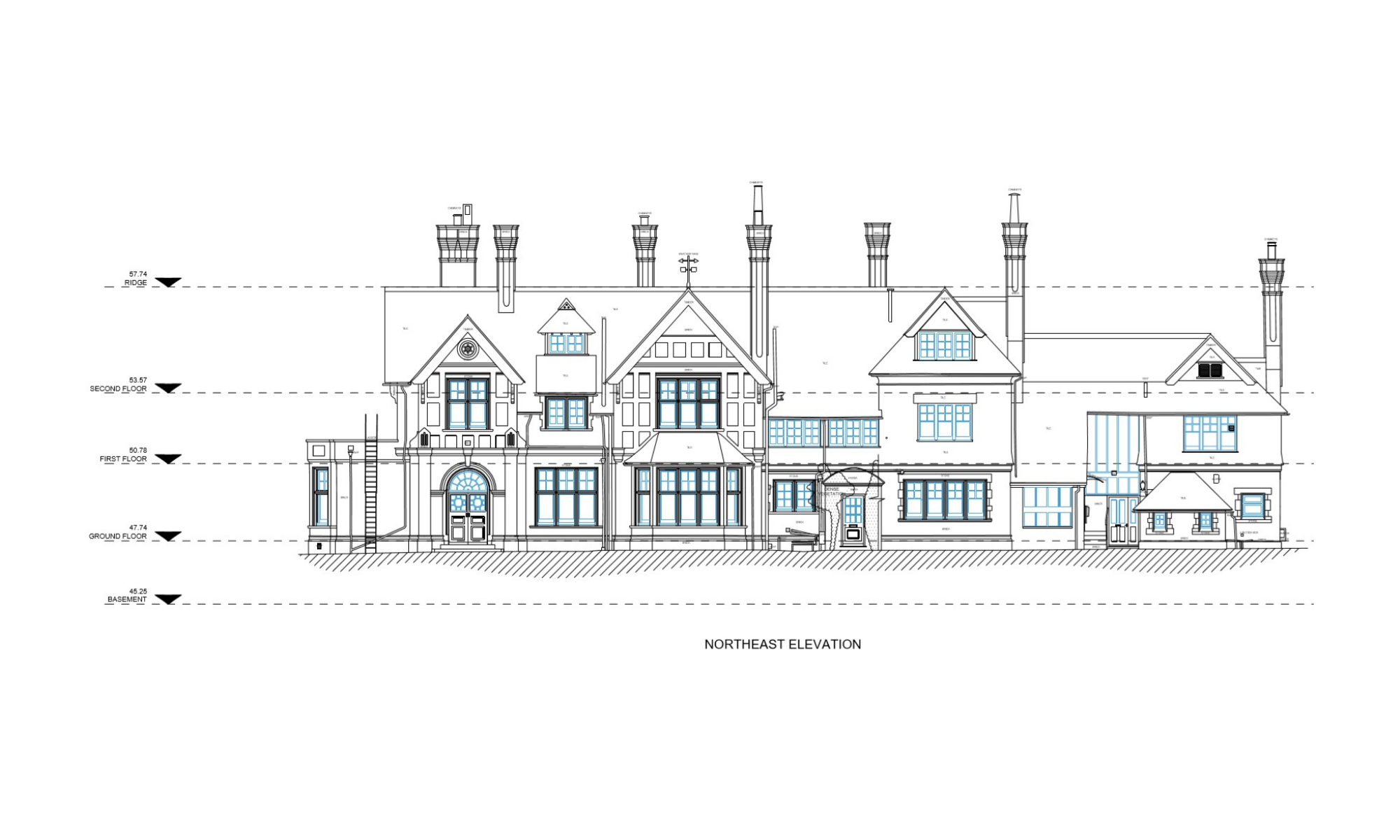

We carry out Measured Building Surveys using advanced laser scanning and surveying technology. This allows us to capture millions of precise data points quickly and accurately. Our team scans both the interior and exterior of the building to create a complete digital record. From this, we produce detailed floor plans, elevations, sections, or 3D models.
You may need a Measured Building Survey if you’re planning renovations, restorations, or new construction on an existing building, or if you require accurate measurements for planning, design, or compliance with regulations.
The cost of a Measured Building Survey can vary depending on factors such as the size and complexity of the building, location, and the level of detail required. For an accurate, no-obligation quote, feel free to get in touch with us.
Unlock the benefits of integrated surveying services with Surveybase. Our comprehensive solutions combine a range of services to deliver efficient, accurate, and cost-effective results, supporting every phase of your project with precision and reliability.
Since 1997, Surveybase has been a trusted leader in 3D Laser Scanning. Providing nationwide coverage, we deliver precise and dependable geospatial data for Point Cloud, 2D and 3D outputs, ensuring complete confidence in your project from day one.
Since 1997, Surveybase has been a trusted leader in Topographical Surveys, offering nationwide coverage and delivering accurate, high-quality 2D and 3D survey data. Our proven expertise guarantees precise terrain mapping for design, planning, and compliance, ensuring total confidence in your project from the outset.
Surveybase provides precise and cost- effective 3D survey services across the UK for commercial, residential, heritage, and industrial properties. Using advanced 3D laser scanning technology, we deliver accurate, site- specific data tailored to each project.
Since 1997, Surveybase has been a trusted leader in Heritage Surveying. Providing nationwide coverage, we deliver precise and dependable 2D and 3D outputs, high-resolution photography, and conservation recording, ensuring complete confidence in your project from day one.
Surveybase provides high-precision Drone Surveying & Inspection services across the UK, delivering fast, cost-effective, and detailed aerial data. Our CAA-certified pilots use advanced UAVs with high-resolution cameras and LiDAR for precise, reliable surveys.
Each project highlights our dedication to accuracy, innovation, and delivering integrated surveying services. Discover how we’ve helped clients achieve successful outcomes with precise, high-quality data.
To obtain a quotation, please email your survey brief to: quote@surveybase.co.uk or use our online quote portal.